

Photoreal 3DGS model
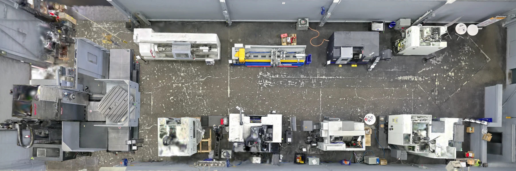
A high-detail Gaussian-splat reconstruction of the captured facility, prepared for smooth navigation and visual review.
3DGS · GAUSSIAN SPLATS · 3D DIGITAL TWINS
Axial Spaces turns captured facilities into navigable 3D Gaussian splats and browser-ready 3D facility twins. Planning-grade mobile SLAM LiDAR contributes spatial context; 3DGS contributes the visual familiarity that helps people understand the plant quickly.
HOW 3D GAUSSIAN SPLATTING WORKS
3DGS does not wrap photographs around a conventional polygon model. It estimates millions of small, oriented translucent Gaussians, then blends them in real time to reproduce the appearance of the captured space from new viewpoints.
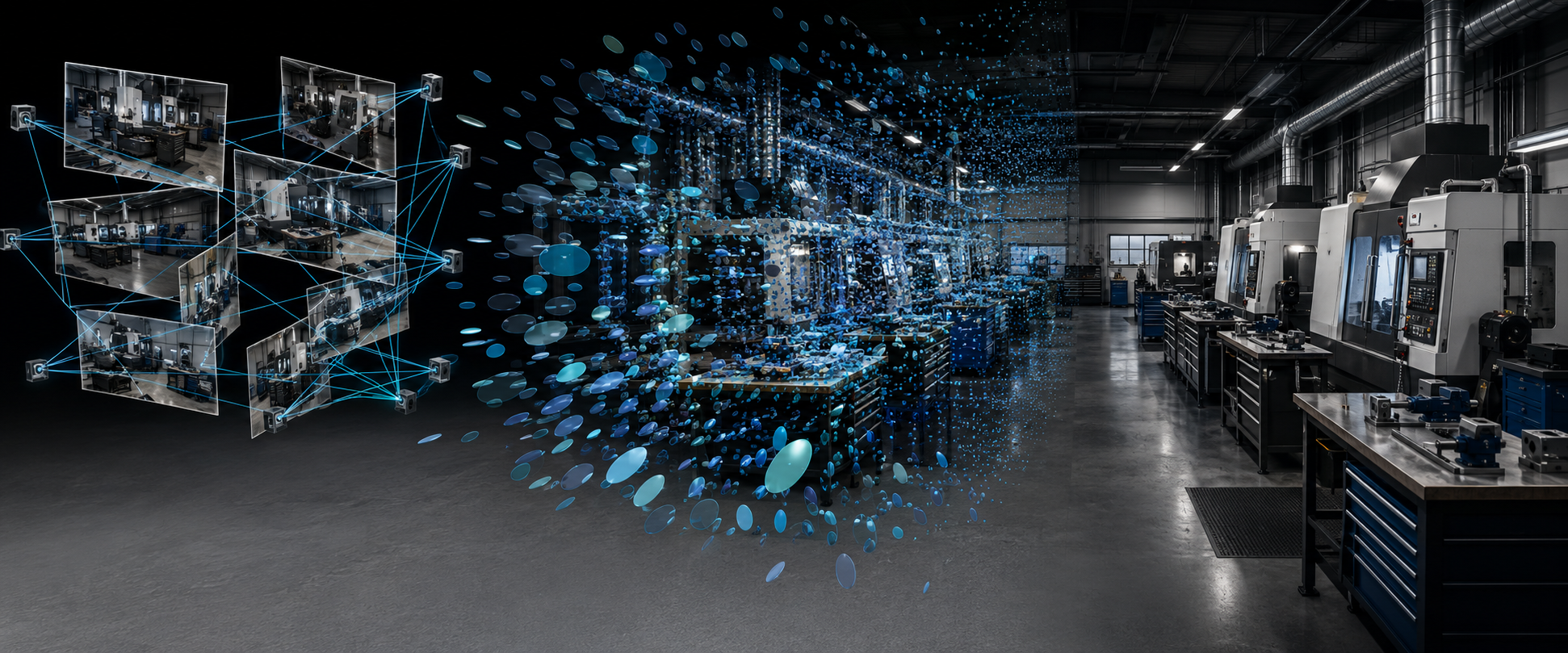
Overlapping images observe the same shop surfaces from many positions and viewing angles.
Software solves camera positions and represents the scene with oriented Gaussians carrying position, scale, rotation, colour and opacity.
The Gaussians are projected and blended quickly enough to create a smooth, photoreal view that can be explored from new viewpoints.
REAL 3DGS · SOUTHERN ONTARIO
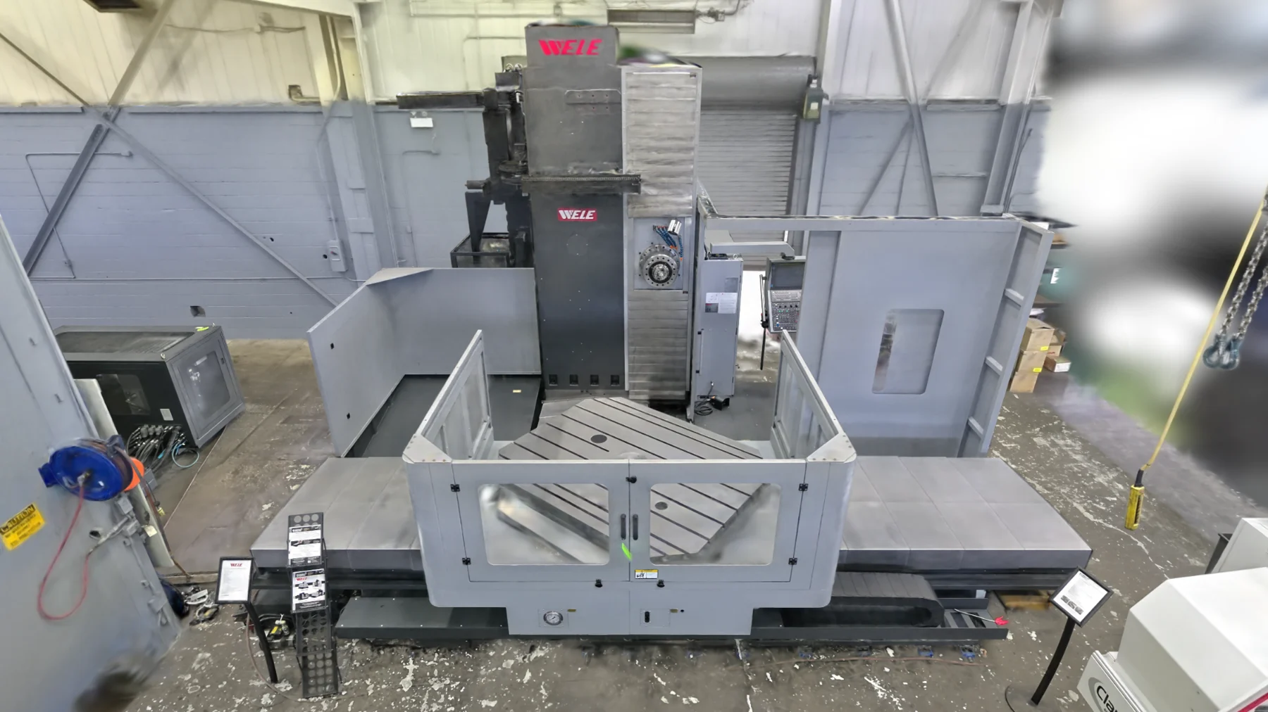
The footage below is from a Southern Ontario machine-tool showroom and demonstration facility—not a concept animation. The 3DGS view keeps the machinery and working environment visually familiar while the companion LiDAR data preserves spatial context.
 Machine-level 3DGS
EXAMPLE RECORD CONTEXT
Capture once. Reuse it until the facility changes. Update it when the plant changes.
DELIVERABLES, SCOPED TO THE DECISION
A high-detail Gaussian-splat reconstruction of the captured facility, prepared for smooth navigation and visual review.
A shareable viewing experience can include spawn position, saved viewpoints, location names and a guided path through the facility.
Measurements, multimedia annotations, equipment context and external 3D assets can be layered into the scene where they support the project.
Depending on scope, model exports may include LCC/LCC2, PLY, USD or 3D Tiles, plus snapshots, fly-through recordings and editable project packages.
WHAT YOUR TEAM GAINS
Photoreal 3DGS preserves the visual character of equipment, aisles and surrounding conditions better than an abstract model alone.
Give management, maintenance, engineering, suppliers and contractors a common spatial environment without specialist desktop software.
Use LiDAR-derived geometry for spatial reference and a Gaussian splat for photoreal understanding instead of pretending either representation does everything.
3DGS stands for 3D Gaussian Splatting. It reconstructs a scene from captured imagery as millions of oriented, translucent Gaussian elements. Rendered together, those elements create a fast, photoreal view that can be navigated from new viewpoints.
People also search for this as a Gaussian splat, 3D splat, splat scan, photoreal 3D scan or NeRF alternative. The useful business question is not the label; it is whether the result makes the real environment easier to understand and reuse.
A browser-ready spatial twin gives teams a shared representation of an existing facility. Guided viewpoints, location names, equipment context, links and project overlays can turn a visually impressive capture into something that supports an actual conversation.
Axial Spaces uses the phrase 3D digital twin carefully. The deliverable available today is a captured spatial representation of the facility. It can become richer with asset, document or project context, but it is not automatically a live operational twin connected to sensors or production data.
A Gaussian splat is excellent at photoreal visual context, but it is not a watertight CAD model and should not be treated as the sole source for critical dimensional work. Mobile SLAM LiDAR supplies planning-grade point-cloud geometry and spatial relationships that imagery alone cannot provide.
Keeping both representations available lets the team move between recognizable visual detail and spatial data according to the task. Neither representation automatically creates survey- or metrology-grade authority; critical dimensions and professional approvals remain separate scopes.
Manufacturing teams can use a 3DGS facility twin for remote reviews, safety conversations, equipment-move briefings, contractor orientation, plant-layout discussions, before-and-after records, training, proposals and stakeholder communication.
The strongest use cases involve several people who need the same context but cannot all be on the same shop floor at the same time.
HOW A PROJECT MOVES
Identify who will use the 3D twin, what they need to find, and what must be visually or dimensionally trustworthy.
Plan the route, coverage, lighting, access and site conditions around both spatial data and photoreal reconstruction.
Process the Gaussian splat, review coverage and visual failures, and align the useful spatial context required by the project.
Deliver the agreed viewer, viewpoints, labels, project context and supporting files with a clear explanation of capabilities and limits.
STRAIGHT ANSWERS
3DGS means 3D Gaussian Splatting, a scene-reconstruction and rendering method that represents a captured environment with millions of oriented Gaussian elements. It can create a highly photoreal, navigable result from imagery.
No. A LiDAR point cloud stores measured three-dimensional points. A Gaussian splat is optimized for photoreal rendering from captured imagery. They can describe the same facility, but they serve different technical purposes.
Not automatically. The deliverable is a browser-ready spatial twin of captured conditions. Live sensors, machine data, maintenance systems or operational analytics would be additional integration work and are not implied by the base capture.
Reference measurement is possible when the scene has been correctly scaled and supported by the underlying spatial data. Critical dimensions should be verified against the LiDAR or an appropriate certified measurement method rather than the visual splat alone.
The Axial Spaces browser viewer is designed to make a published facility accessible from a modern web browser. Performance depends on the device, connection and scene size, so high-detail geometry streams on demand.
Focused decision-capture projects start around CAD $1,500. Full-facility capture, facility twins, equipment-move planning, hosting and specialized deliverables are quoted by scope.
START WITH ONE REAL FACILITY
Focused decision-capture projects start around CAD $1,500. Full-facility capture, facility twins, equipment-move planning, hosting, and specialized deliverables are quoted by scope.
Scope My Facility Project